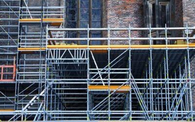
I wanted to share this amazing tool with you. 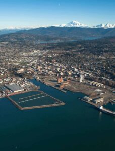 It is a web application that shows the current and planned construction projects in Bellingham. You can access it here: COB Development Dashboard (arcgis.com) This tool is useful to the public because it allows you to see what kind of development is happening in various parts of the city, what stage of completion it is at, and how this development might affect the urban landscape from a bird’s eye view.
But that’s not all. There is another tool that can help you learn more about your land and its potential. Geocortex Viewer for HTML5 (cob.org) It is the city’s GIS portal, where you can find various maps and data layers related to zoning, utilities, environmental features, and more. We use this tool often in our work, but it is also something that you can use to explore your own ideas and projects.
GIS is a powerful technology that can provide a lot of information and insights for planning and designing our built environment. I hope you find these tools helpful and interesting.
